Seafloor and Coastal Mapping
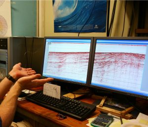
The coastal area of California is diverse, ranging from towering coastal bluffs to dense urban development and rolling pastoral lands. Immediately offshore, the underwater topography is equally varied with deep canyons, seamounts, and small shelves extending from the shoreline. In recognition of this complex environment, the California Seafloor and Coastal Mapping Program is actively working to combine seafloor and coastal shoreline data and mapping products to inform actions of state and federal resource management agencies. The charge of the program is to collect bathymetry (underwater topography) and backscatter (providing insight into the geologic makeup of the seafloor) data that is then turned into benthic habitat and geologic base maps for California state waters from the mean high water line out to 3 nautical miles.
Together with the US Geological Survey and National Oceanic and Atmospheric Administration, OPC has convened a Steering Committee to guide the next steps of the California Seafloor and Coastal Mapping Program. Building off of previous user engagement efforts such as the October 2014 Santa Cruz Workshop, these agencies are crafting a cohesive strategy for the future of this visionary program.
You can view data collected and maps produced through the California Seafloor and Coastal Mapping Program in several locations, including Cal State University at Monterey Bay’s Seafloor Mapping Lab website, the NOAA Data Catalog, and the US Geological Survey’s California Seafloor Mapping Program website. Learn more about the map sheets and associated data products here.
California Seafloor and Coastal Mapping Program In the News
San Francisco Chronicle, July 4 2015 “Mapping project reveals ancient faults in changing seafloor”
Wired Magazine, May 22 2015 “New Maps Reveal California’s Sensational Seafloor Geography”
Los Angeles Times, March 20 2015 “Scientists explore 2,000 miles of the ocean floor – and you can too”
Project Partners
OPC’s work to curate geospatial information about California’s ocean and coastal environments has been supported by the following project partners:
- California Department of Fish and Wildlife
- California Geological Survey
- California State University Monterey Bay, Seafloor Mapping Lab
- Fugro Pelagos, Inc.
- Moss Landing Marine Labs, Center for Habitat Studies
- NOAA Coastal Services Center, National Geophysical Data Center
- NOAA National Marine Fisheries Service
- NOAA National Ocean Service
- NOAA Office of Coast Survey
- Pacific Gas and Electric
- Packard Foundation
- State Coastal Conservancy
- USGS Geological Survey, Western Coastal and Marine Geology Program
Key Documents
Coastal and Marine Ecological Classification Standard Webinars and Workshop (March 2011)
California Coastal LiDAR Project February 2010 Report
Staff Recommendation (September 2008)
Staff Recommendation (October 2007)
Staff Recommendation (June 2006)
Statewide Marine Mapping Planning 2005 Workshop Final Report
For more information about the California Seafloor and Coastal Mapping Program and related geospatial initiatives at the Ocean Protection Council, please contact Deputy Director Amy Vierra or Sea Grant Fellow Morgan Ivens-Duran.


