Introducing SeaSketch California – a Mapping Tool for California’s MPA Network
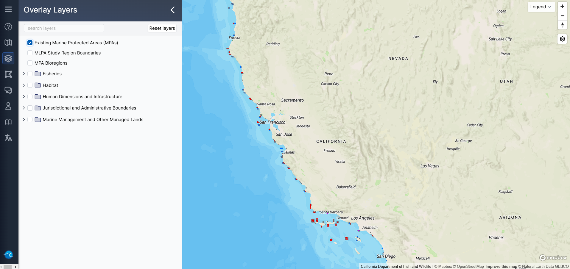
The Ocean Protection Council (OPC) is excited to announce the launch of SeaSketch California, a cutting-edge, open-source mapping platform designed specifically to provide spatial data and analysis tools related to the 2023 petitions proposing changes to California’s Marine Protected Areas (MPAs).
Developed by Dr. Will McClintock and his team at the National Center for Ecological Analysis and Synthesis at UC Santa Barbara, SeaSketch California builds upon the success of MarineMap, which was instrumental in the creation of California’s MPA network.
Thanks to OPC’s investment, SeaSketch California now serves as a one-stop shop for all spatial data relating to proposed changes to California’s MPA network. SeaSketch California is a public tool that can be used to synthesize complex data and generate detailed reports on habitat size and spacing within individual MPAs or across the network. This powerful, easy-to-use tool provides the public, policymakers, and scientists with the ability to see how proposed changes align with critical scientific guidelines and habitat protection goals.
A live demonstration was held at the Marine Resources Committee (MRC) meeting on Thursday, March 13, 2025, showcasing the platform’s capabilities and how to use it to engage in adaptive management of California’s MPA Network. The recording will be available via the MRC meeting link above.
Read UCSB’s Science + Technology blog to learn more!


