Coastal Habitat Mapping White Paper and Webinar Recording
The Ocean Protection Council (OPC) released a new Coastal Habitat Mapping Considerations White Paper, developed to explore options for statewide coastal habitat mapping efforts. The report offers recommendations for creating consistent, practical, and effective approaches to mapping California’s diverse coastal habitats.
Managing and protecting California’s coastal ecosystems, and tracking progress toward regional and statewide goals, requires accurate, up-to-date maps. These maps help scientists and managers assess habitat extent, monitor change over time, and evaluate conservation outcomes. However, past mapping has often been done in a piecemeal way, using different methods and timeframes. This inconsistency makes it difficult to get a clear statewide picture of status and trends.
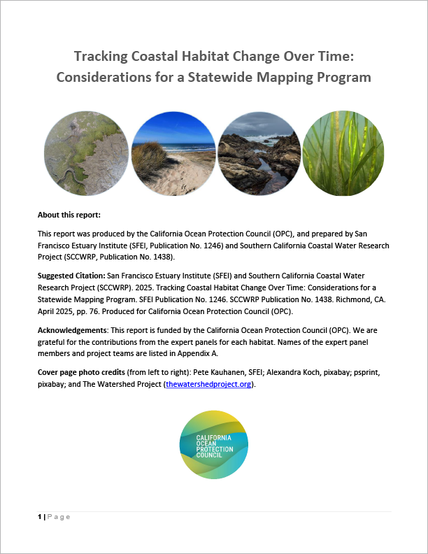
To help address this challenge, OPC worked with expert workgroups to explore options for routinely and comprehensively mapping four key coastal habitats across California: coastal wetlands, beaches and dunes, eelgrass, and rocky intertidal zones. The white paper summarizes these options and provides guidance to improve future consistency of coastal habitat mapping statewide.
This effort supports OPC’s Strategic Plan goals for coastal habitat acreage targets and helps other state agencies meet mandates to track habitat acreages under AB 1757, California’s Nature-Based Solutions Climate Targets.
Informational Webinar
An informational webinar was held Monday, December 1, 2025 with staff from OPC, the San Francisco Estuary Institute, and the Southern California Coastal Water Research Project.